History
The Linkage Mapper Project’s roots go back to 2001, when Dr. John Gallo, then a graduate student in geography at UC Santa Barbara, began experimenting with least-cost path and corridor algorithms to meet the connectivity mapping needs of the Conception Coast Project, a regional collaborator of The Wildlands Project. Building on Lombard and Church’s 1993 work on gated least-cost paths, he implemented cost-buffered least-cost paths and modified least-cost corridors. John shared one of these early algorithm results with Dr. Brad McRae (1966-2017) and other scientists at a connectivity workshop at the National Center for Ecological Analysis and Synthesis (NCEAS) in the mid 2000s, helping set the stage for later collaboration.
Brad was a brilliant and prolific scientist, and one of the nicest men you would ever meet, rest his soul. We miss him.
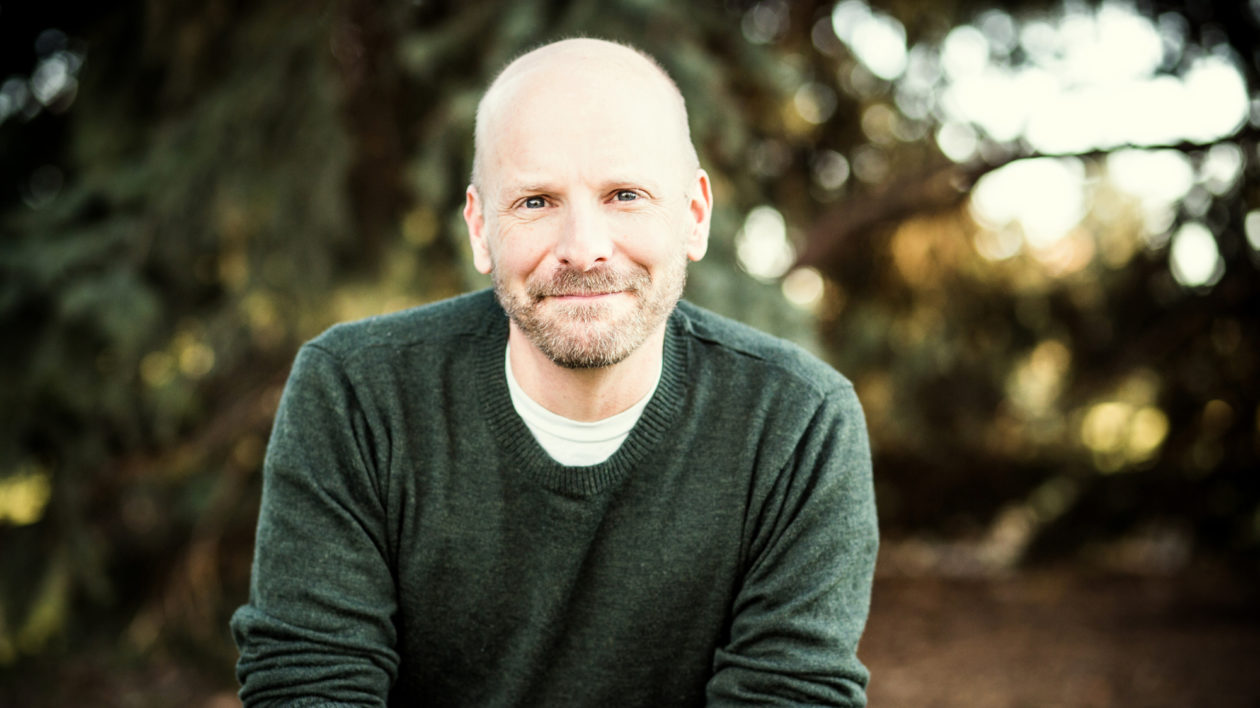
He pioneered the use of circuit theory to model ecological connectivity and gene flow in fragmented landscapes. About five years after the NCEAS workshop, he combined circuit theory with least-cost corridor modeling in the Linkage Mapper 1.x GIS toolbox. He worked closely with Darren Kavanagh, who improved the code base. Viral Shah helped Brad develop Circuitscape, the engine behind Pinchpoint Mapper and Centrality Mapper. Other noted contributors to Version 1.x included Tristan Nuñez, Andrew Shirk, Brian Cosentino, Jeff Jenness, Andrew Gilmer, Theresa McRae, and Jenny McGuire.
Meanwhile, John Gallo developed another Python script, this one to not only map linkages but also prioritize among them. In 2014, he and Brad were thrilled to learn of each other’s work, reconnected in person, and decided to embed John’s algorithm into Linkage Mapper. John hired Randal Greene to be lead developer for this work, and a version of this algorithm became the Linkage Priority Tool of Linkage Mapper Version 2.x.
In 2017, Brad asked John to take over as Director of the Linkage Mapper project; John accepted, with the Conservation Biology Institute providing baseline institutional support. Later, the Conception Coast Project/Regional Resilience Network became the fiscal sponsor. Since 2017, Versions 2.0 and 3.0 have been advanced by a broad community of users and collaborators, including key development and testing support from Darren Kavanagh, Indranil Mondal, Megan Jennings, Bilal Habib, Nathaniel Mills, and many others. Other institutions played helpful roles in the development of Linkage Mapper, including Washington Wildlife Connectivity Working Group, The Nature Conservancy, and California Department of Fish and Wildlife.
From its beginnings in experimental least-cost corridor modeling to its current role in regional and national connectivity planning, Linkage Mapper has always been an open-source, community-driven project. Its continued evolution is dedicated to Brad and to his mission of conserving the natural world.