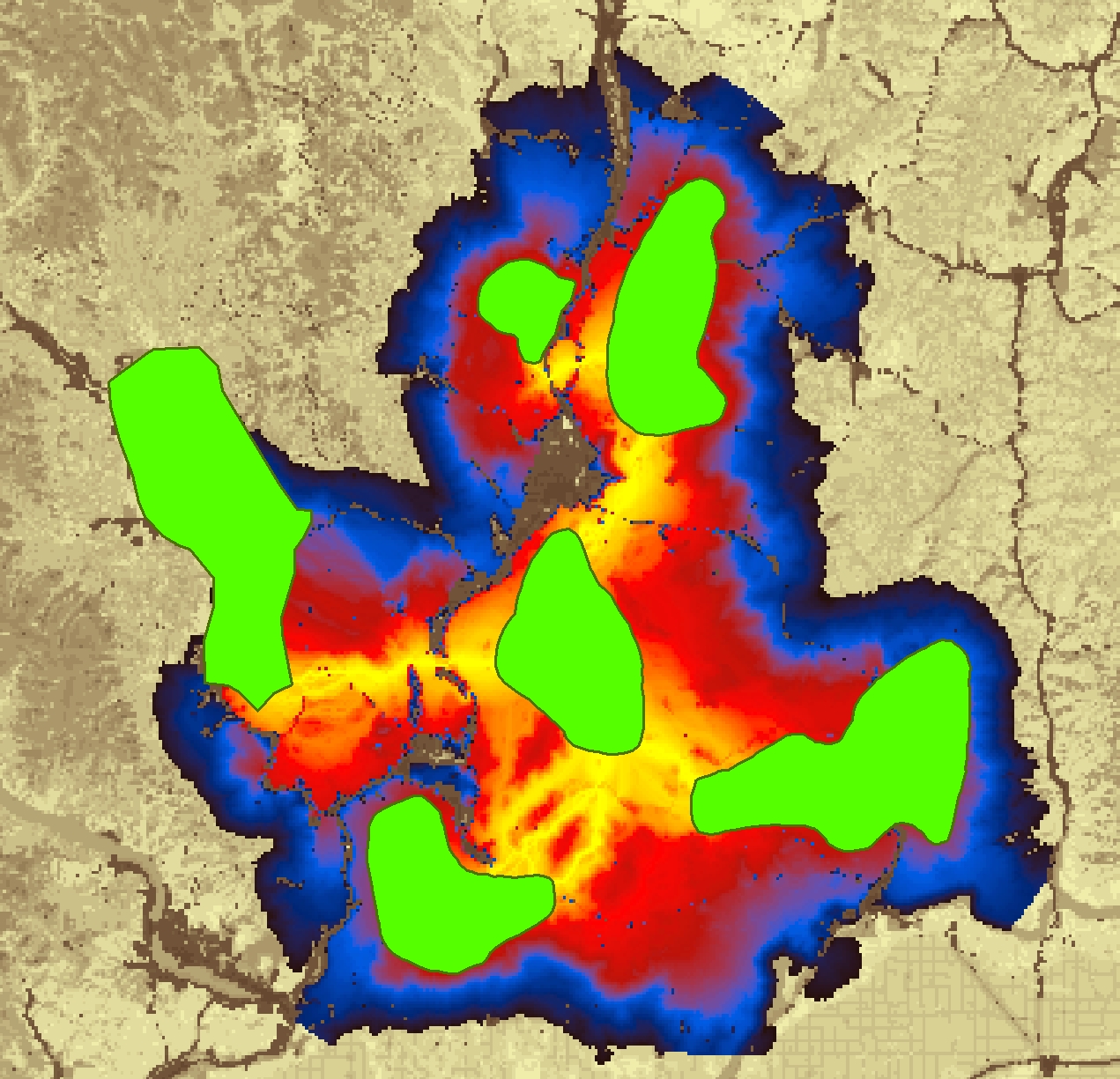
Linkage Mapper

Linkage Mapper is an open-source toolbox for wildlife habitat connectivity analysis. It consists of six Python-based tools packaged in an ArcGIS toolbox that automate the mapping and prioritization of wildlife habitat corridors.
The project is open-access and in active development by a small, collaborative team. For support and release updates, please join the Linkage Mapper User Group. You can help shape development via our Github project. We also provide a large menu of support and consulting services.
Tools
A brief overview of the Linkage Mapper toolbox:
- Linkage Pathways (originally known as “Linkage Mapper”) maps linkages among habitat core areas and shows the relative connectivity value of each grid cell along those pathways.
- Climate Linkage Mapper filters and refines potential linkages so they more realistically follow climatic gradients.
- Barrier Mapper detects key barriers to movement to support restoration and mitigation planning.
- Pinchpoint Mapper uses circuit theory to identify pinch points (bottlenecks or choke points) in Linkage Pathways corridors.
- Centrality Mapper uses circuit theory to assess the centrality of cores and corridors in the network, helping prioritize important connections.
- Linkage Priority estimates and maps the relative priority of each linkage based on a weighted combination of up to ten standard considerations, including climate change, and any number of custom considerations.
For details and example outputs, see the Linkage Mapper Tools page.
Please note that connectivity modeling requires substantial research, data compilation, GIS analysis, and careful interpretation. Defining areas to connect, parameterizing resistance models, and other key decisions are not trivial. Before using the tools, we strongly recommend reviewing published guidance on connectivity modeling and the references in the Linkage Mapper user guides. Omitting key steps may produce a rapid, professional-looking result, but it increases the risk that linkages are mapped in the wrong locations. In many cases, this can be more detrimental to wildlife conservation than not mapping a linkage at all.